MaptureNav
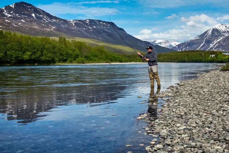
An outdoor recreation application built for hunters, fishers, backpackers, and casual hikers
2022
Web & App Developer
Swift
Mapbox
HTML
CSS
JavaScript
Node
Firebase
Auth0
AWS
PostgreSQL
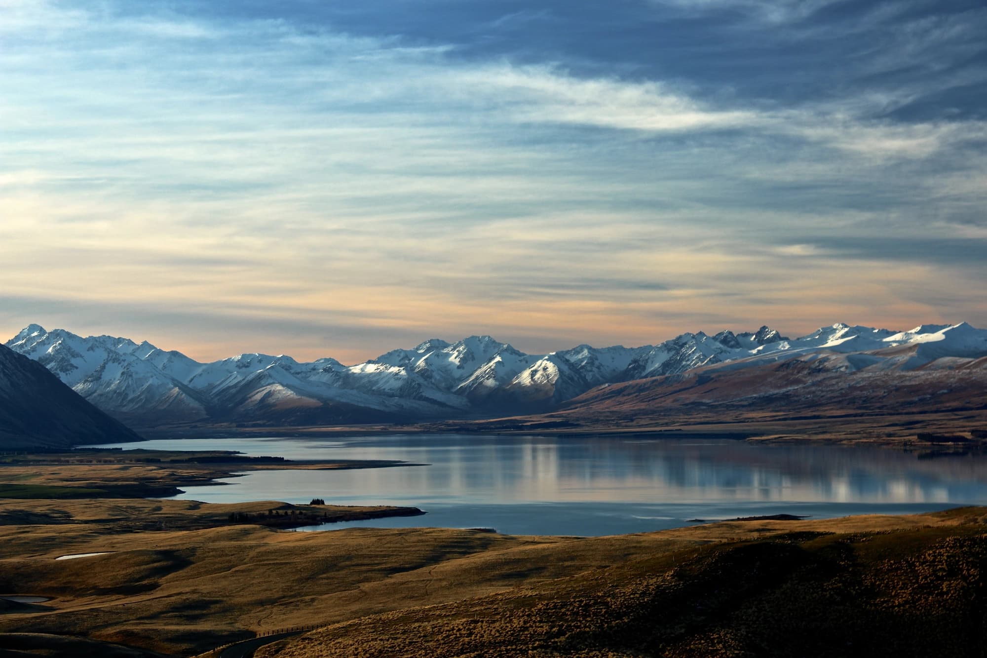
untapped exploration
The outdoors made friendly
The MaptureNav app pairs custom maps designed for users with built in privacy, lightning fast loading and seamless map panning interactions.

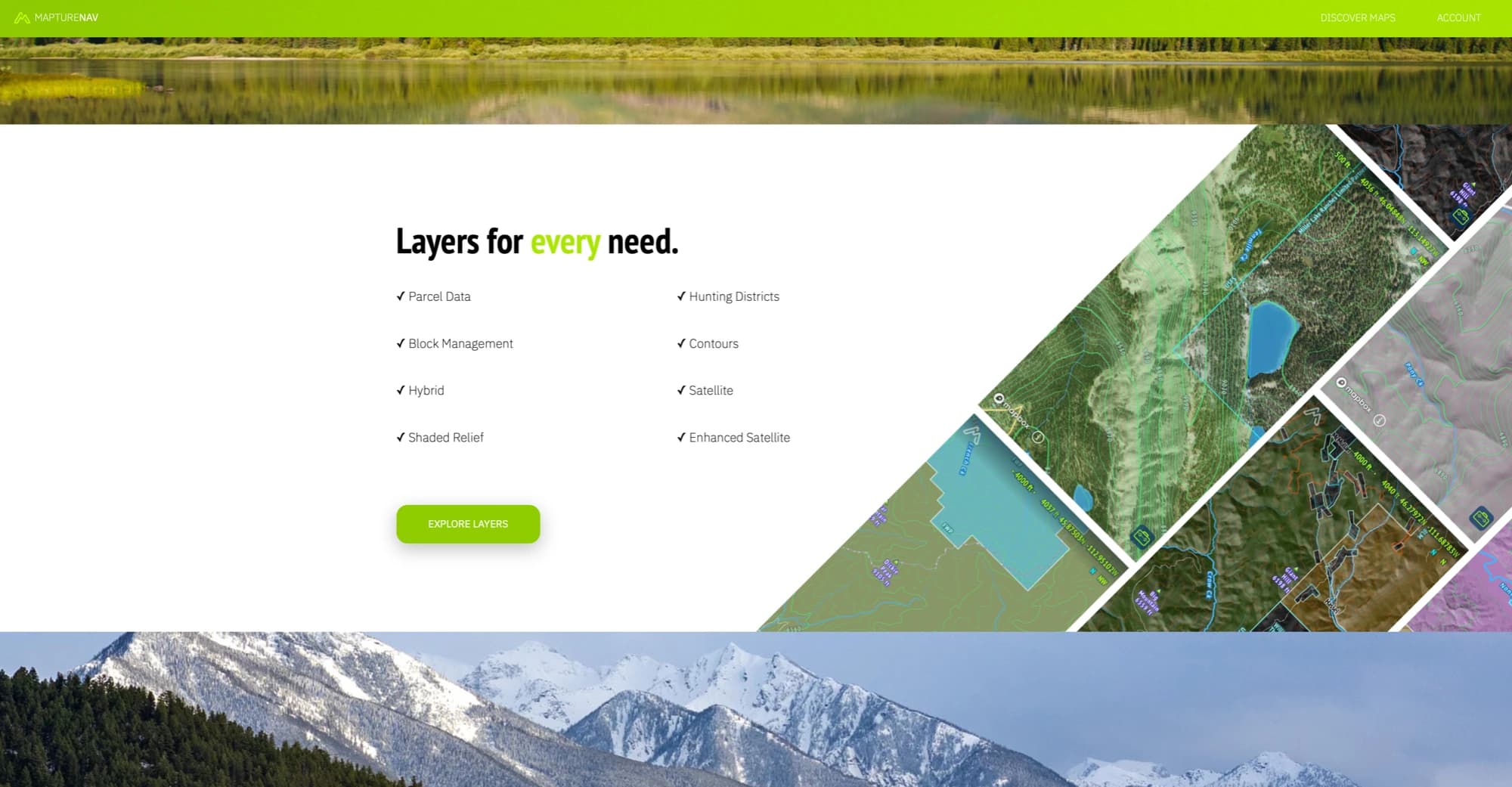
expansive features
A tool made for each use case
Enjoy offline maps when you wander out of service. Add a waypoint for you parked car, tree stands, target areas, and favorite spots. MaptureNav will keep track of your path, time, and average speed while automatically syncing across all of your devices. Switch to the dark mode when hunting in the dark to preserve your night vision.
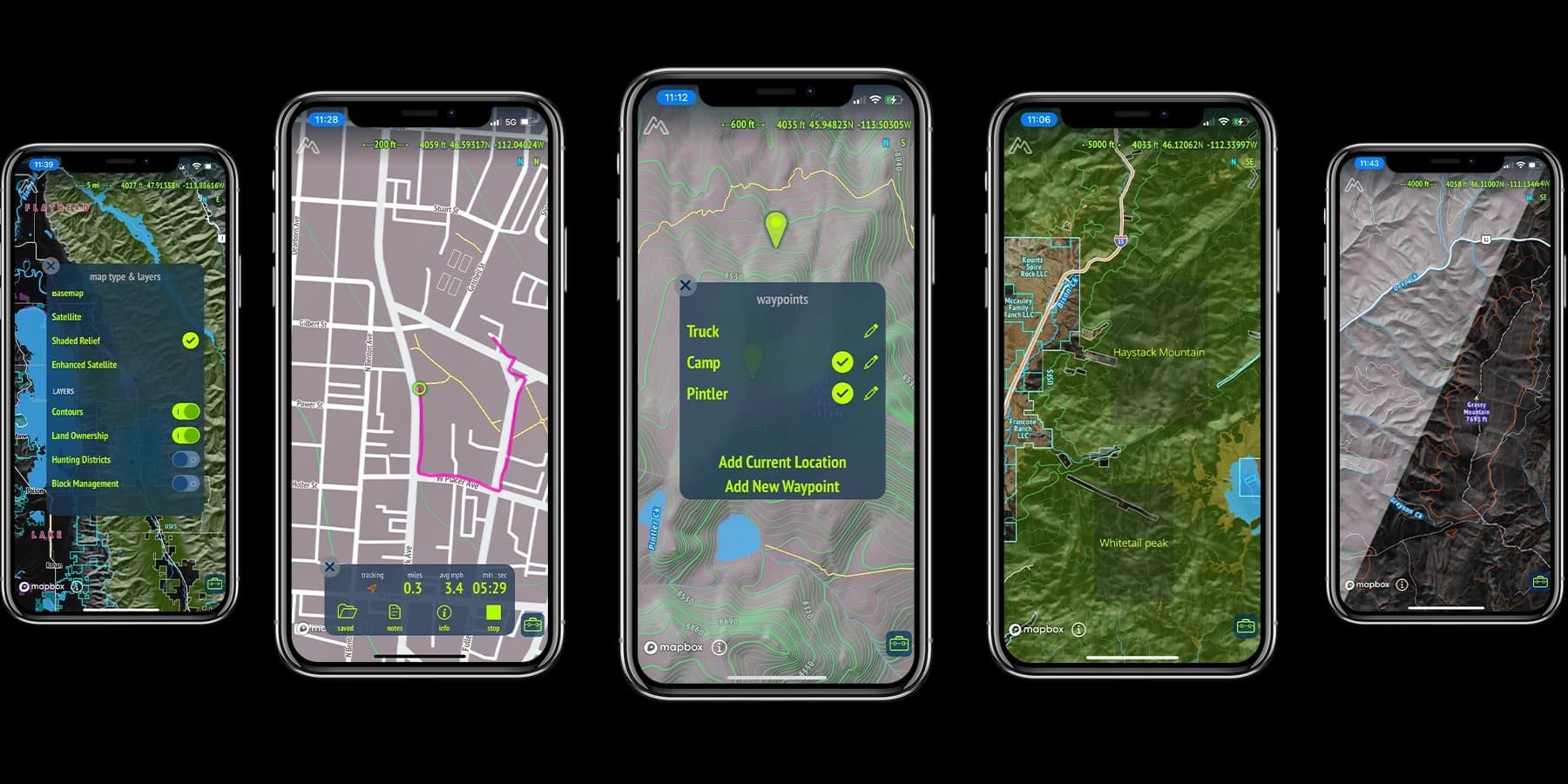
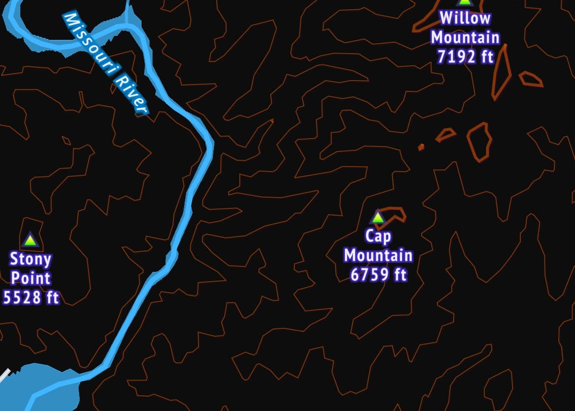
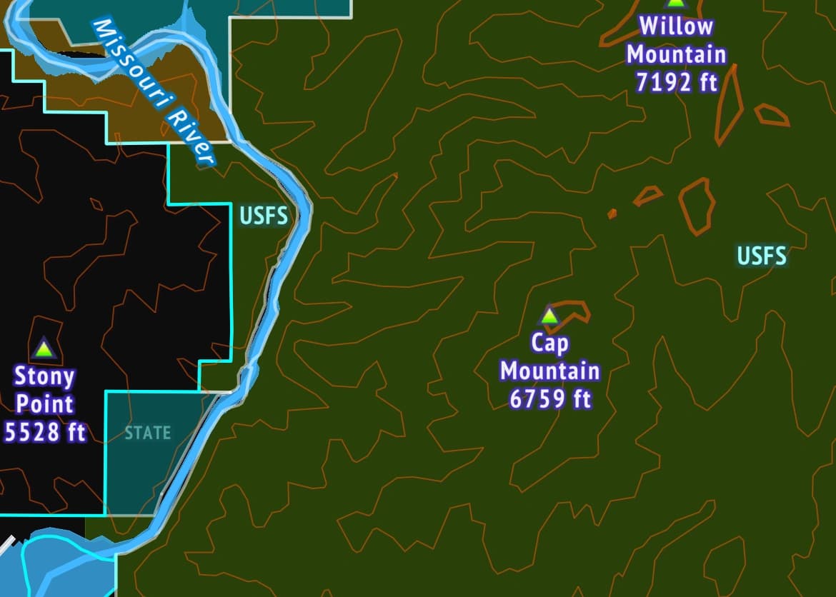
Basemap
The base map provides all the content of your standard hybrid map. View all streets and roads alongside streams and rivers.
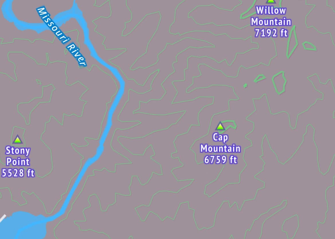
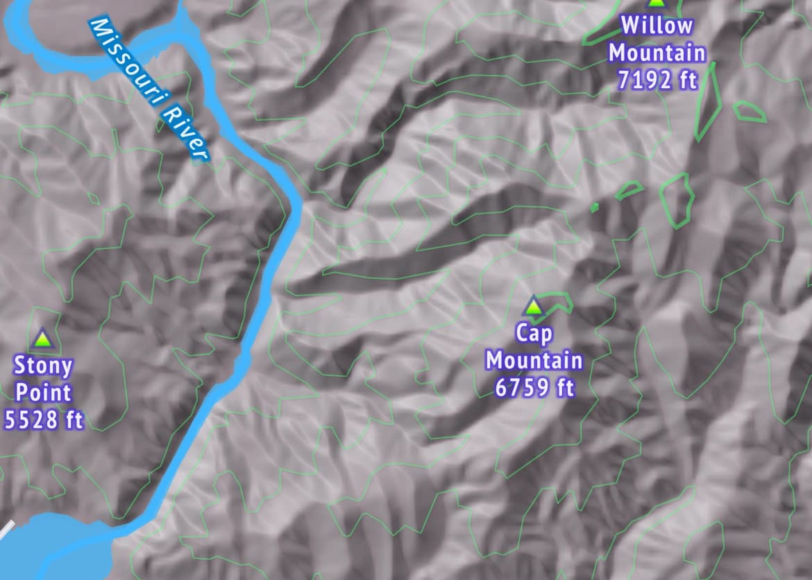
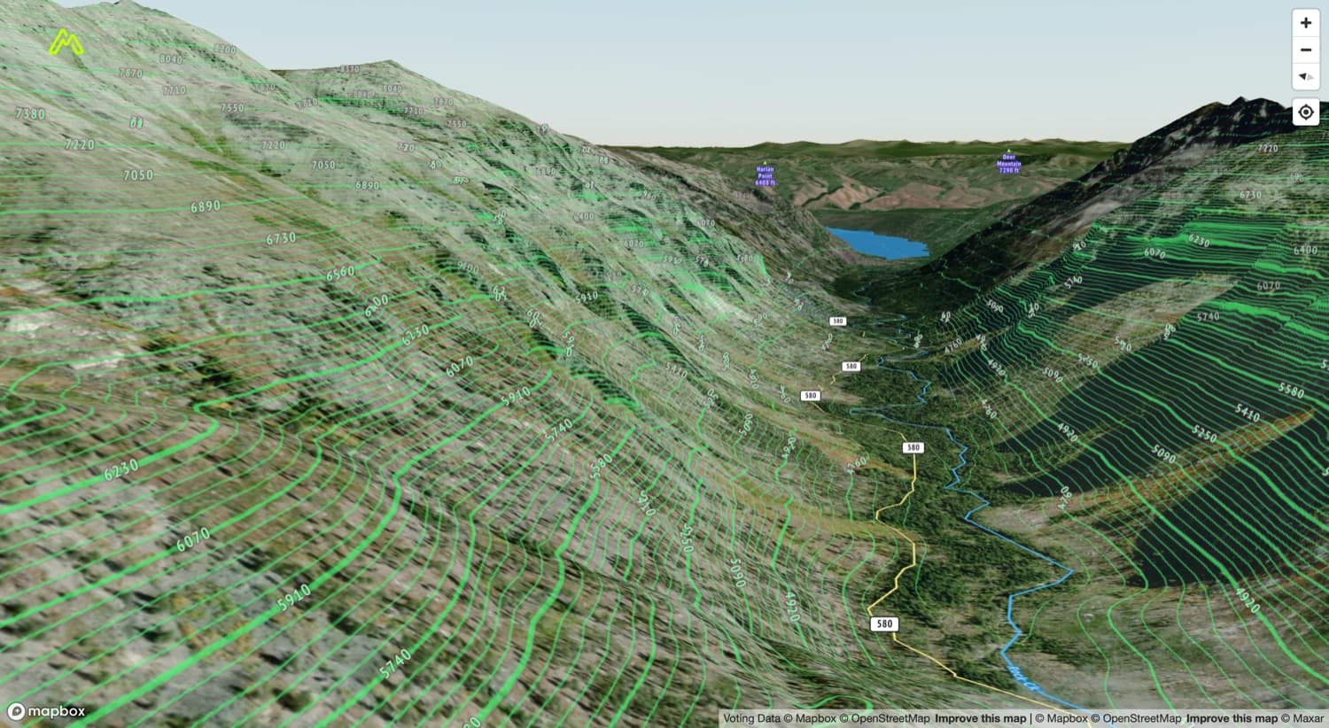
Shaded Relief
Building on the base map shaded relief shows elevation for features such as mountains, valleys, plateaus, and canyons.
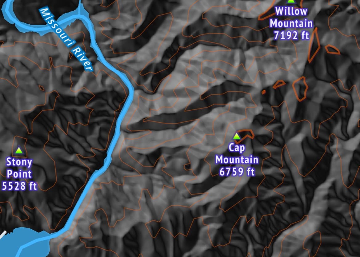
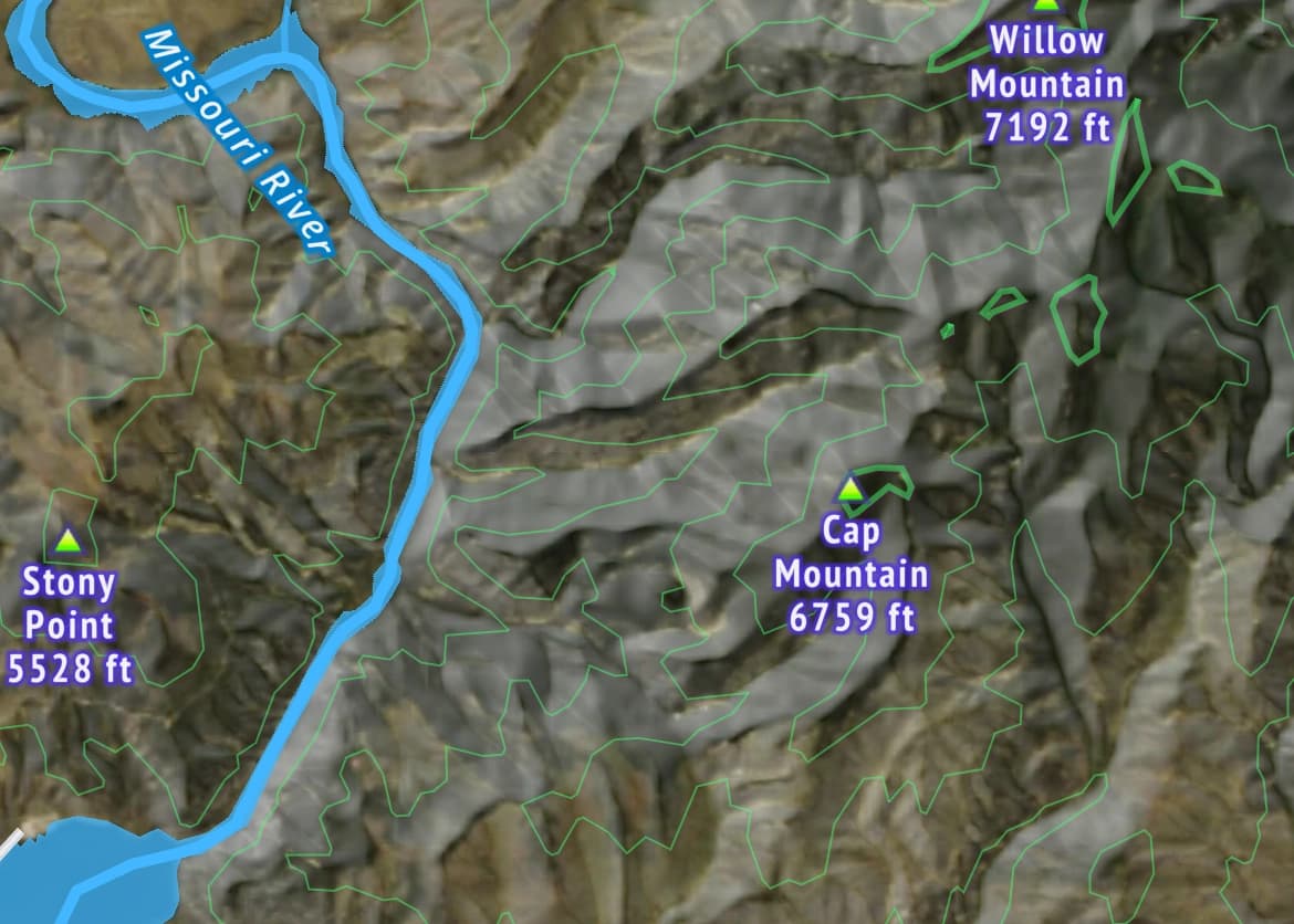
Satellite
The satellite map provides accurate imagery allowing you to gain an understanding of the area.
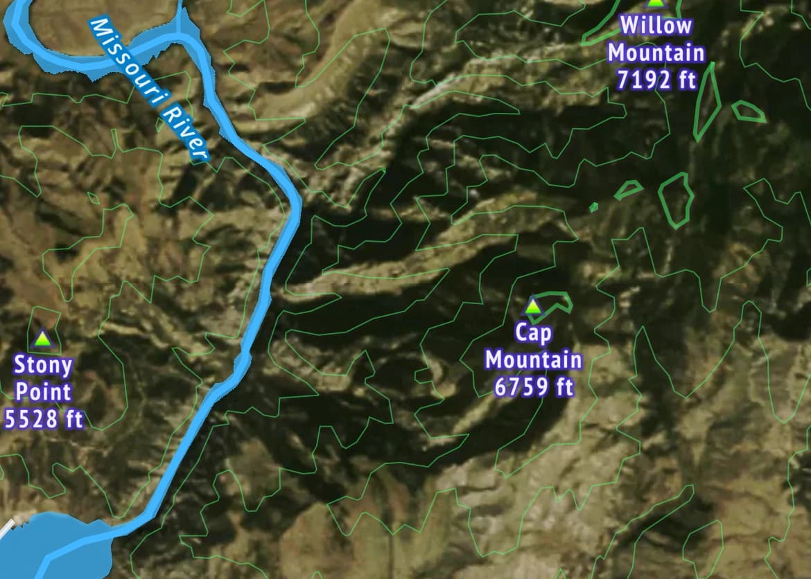
Enhanced Satellite
Enhanced satellite is a combination of the default satellite map and a shaded relief overview.
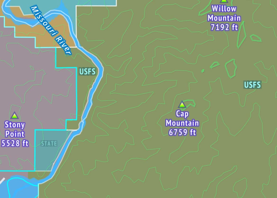
Land Ownership
The land ownership overlay gives you accurate information on property boundaries and the public and private landowners. Each land parcel is marked and labeled allowing you to stay legal.
advanced capabilities
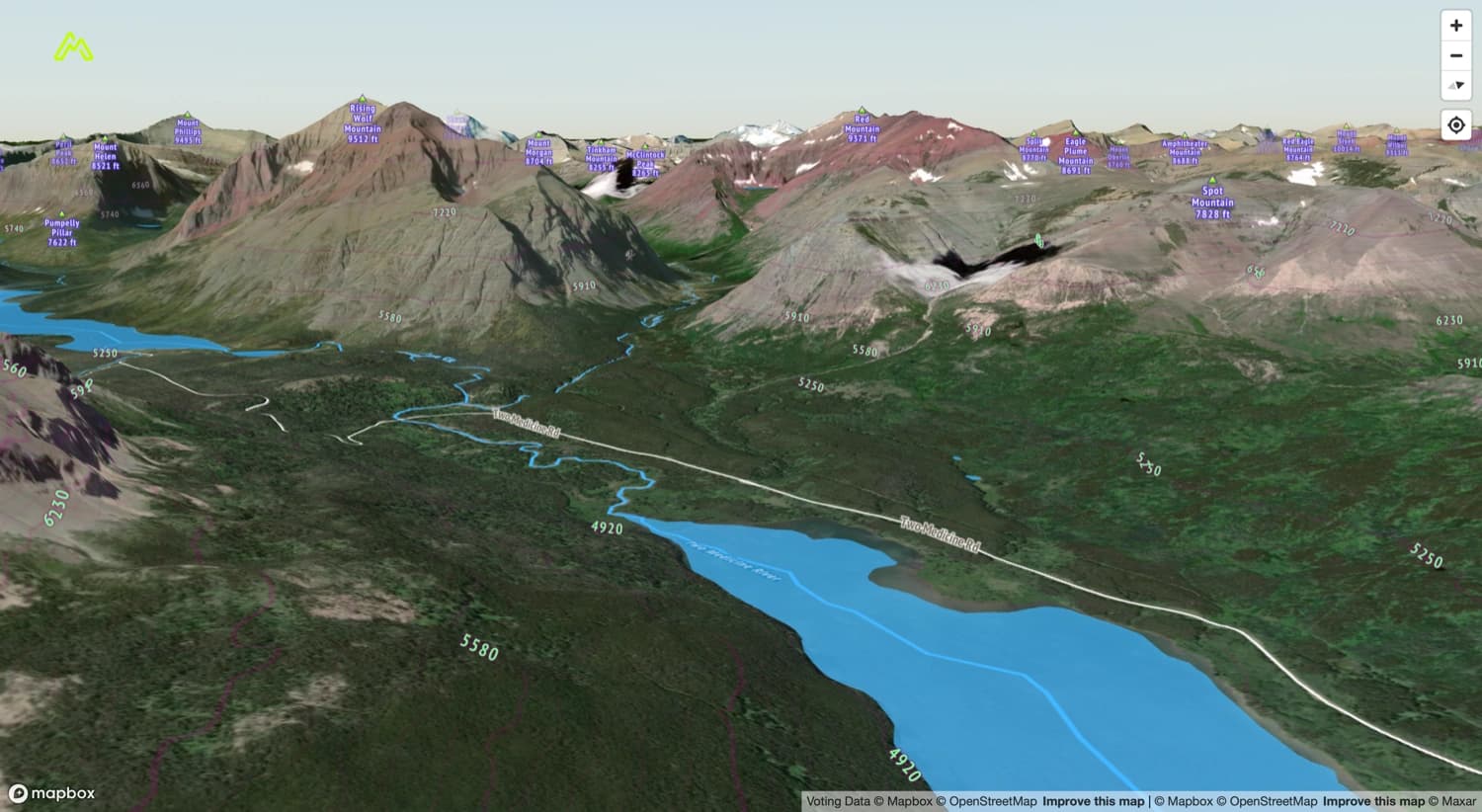
3D Maps made accessible.
3D maps enable you to understand your destination before you even leave the house. Combining 3D maps with Mapture's expansive layers gives you the tools you need to plan and optimize your trip.

What's next?
Want to see more, go back to portfolio. Ready for the next step, book your discovery call or start your project. Unsure, we can always just chat.